For Social Studies, CVI interventions provide opportunities for students to learn specific descriptive vocabulary while allowing them access to larger concepts through real life learning activities. Giving students with CVI opportunities to use their vision while teaching them how to discuss what they see supports their overall communication goals.
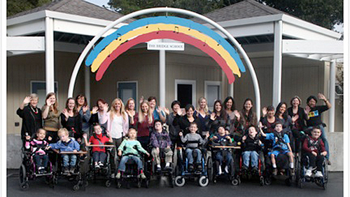
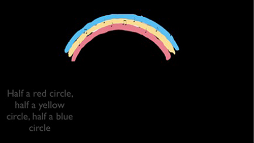
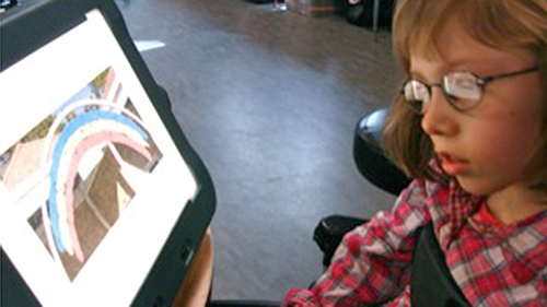
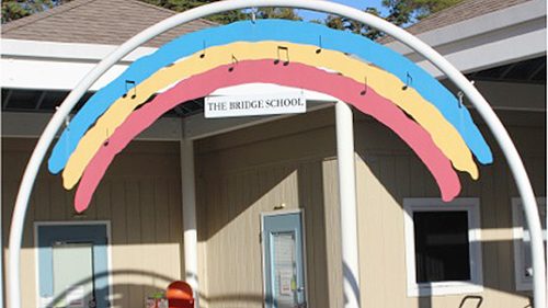
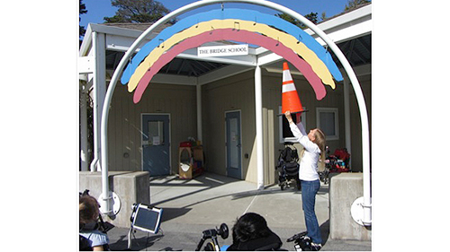
Learning About Maps is a lesson that supports students learning landmarks in a large environment. At The Bridge School, students pass under a rainbow when entering the school from the playground. Most of our students with CVI were unfamiliar with the rainbow because they were unable to reference it with their vision. Many had restricted upper visual fields and were unable to attend to moderately complex visual arrays. The following considerations were addressed when planning this lesson:


Each contribution makes a difference in the lives of our children. Visit our secure donation page and fill out the form to make your secure online donation.

The Bridge School
545 Eucalyptus Avenue
Hillsborough, CA 94010-6404
T: 650-696-7295
F: 650-342-7598
© The Bridge School